Track information
Track difficulty
Easy
Track length
6,4 km
Tour time
2 h
Suitable for family
Yes
Download the map
Rural tourism Kezele is located on a hill in Šumećani, on the southeastern edge of the Marča forest. Towards the southeast, there is a panorama of Moslavina hill and the Česma Valley.
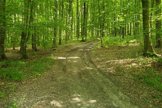
Located right next to the Marča forest, after about 100 meters you enter the hilly parts of the forest furrowed by numerous deep forest ditches through which water flows.
Kezele – Đuro's hill – Sudarice – Kezele
If you want to explore the wider area of this part of the forest, take the macadam road along the vineyards to the northwest towards Đuro's hill. When you pass the hill on the left, turn right onto the first forest macadam.
Before descending into the valley, turn right along the ridge to Lake Sudarice. Through the light forest along the marsh, the route returns to the macadam in the valley, continues to the right and soon enters the forest again (narrow path). You return to the lake and continue on the path to the left through the forest and soon climb uphill.
The last part of the route follows the forest path along the ridge, and ends on the road to Kezele.
MAP

PHOTO GALLERY


